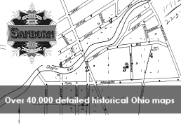
Sanborn Fire Insurance Maps
Large scale street plans – including building outlines, property boundaries, and building use - produced by the Sanborn Fire Insurance Company from 1867 to 1970
Database image
Category

Large scale street plans – including building outlines, property boundaries, and building use - produced by the Sanborn Fire Insurance Company from 1867 to 1970